
When investors look at purchasing a property they generally take into account a few things such as the orientation of the property, size, zoning and any potential views. One thing that we are noticing is that some people are not considering and should, especially if they are looking at doing a development is the potential for future fire on this property.
In the past having a view or being next to a park on a nature strip was a good selling point but these days developers need to be aware that this type of attribute although it can be pleasing to the eyes may in fact end up costing you more in new build due to regulations that were introduced in 2015.
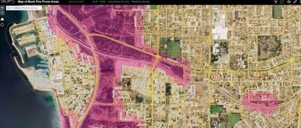
The Western Australian Planning Commission (WAPC) State Planning Policy 3.7: Planning in Bushfire Prone Areas (SPP3.7) directs how land use should address bushfire risk management in Western Australia. It applies to all land which has been designated as bushfire prone by the Fire and Emergency Services (FES) Commissioner as highlighted on the Map of Bush Fire Prone Areas.
https://maps.slip.wa.gov.au/landgate/bushfireprone/
What does this mean for development/subdivision of my property?
This means that development on your property may be subject to additional design, application and assessment requirements. All of which can add up in extra potential costs.
If you are building a house in a designated bushfire prone area and your property has been designated as bushfire prone by the Map of Bush Fire Prone Areas for more than 4 months you will need to undertake a Bushfire Attack Level (BAL) assessment before you can commence development;
If you are proposing to build a house in an area of extreme bushfire risk (i.e BAL-40 or BAL- Flame Zone) and your property has been designated as bushfire prone for more than 4 months you will need to obtain a development approval unless you are building a single house or ancillary dwelling on a lot or lots less than 1,100m2 (in which case you will won’t need a BAL assessment for Planning proposes but may require a BAL assessment for a building permit); or
If you want to subdivide, you will need to provide a BAL Contour Map that illustrates indicative BAL ratings across the entire site with your subdivision application (no transition period applies).
The Map highlights the Bushfire Prone areas and if your property is located within this area the councils will generally require you to carry out a BAL Bushfire Attack Level assessment rating. Carried out by a qualified professional. Depending on this particular rating will determine if and what can be developed.
BAL- Bushire Attack Levels are broken into six attack levels based on the severity of the building’s potential exposure to ember attack, radiant heat and direct flame contact:
BAL- LOW- very low risk
BAL- 12.5- low risk
BAL- 19- moderate risk
BAL- 29- High risk
BAL-40- very high risk
BAL-FZ- extreme risk (Flame Zone)
A property located in a Bushfire Zone areas will generally have certain setbacks that are required as part of the Local Governments policies. This can potentially mean if your property is zoned development once you take into account these setbacks there is very little land left in order to construct on. Alternatively, if you do have a high BAL level but comply with the set backs some of the building regulations that can be imposed can be excessive and expensive. So as developers it is important that we carry out all necessary due diligence when purchasing a property and one of these important steps is determining if your property falls within these zones.